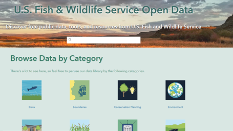
https://gis-fws.opendata.arcgis.com/
Our Mission: Working with others to conserve, protect and enhance fish, wildlife, plants, and their habitats for the continuing benefit of the American people.
Geospatial science, data, and technologies are vital components needed to meet the mission of the U.S. Fish and Wildlife Service
To paraphrase one of our regional geospatial coordinators, “No major conservation actions happens without geospatial technology, science, and data.” Geographic Information Systems (GIS), Global Positioning Systems (GPS), and remote sensing are the primary elements which fall under the geospatial services umbrella. Geospatial services provide the technology to create, analyze, maintain, and distribute geospatial data and information. GIS, GPS, and remote sensing play a vital role in all the Service’s long-term goals, including meeting the challenges posed by climate change.
What have we done so far?
Geospatial technology and data are used by nearly all programs within the Service. Below are just a few examples:
- The Midwest Fish and Aquatic Conservation Program modernized their environmental DNA work by leveraging web-based geospatial tools, leading to an estimated cost savings of $130,000 per year while also improving data quality and availability and advancing the science of conservation.
- The National Wetland Inventory (NWI) monitors the extent and status of wetlands for management, research, policy development, education, and planning.
- Evaluate, plan, and implement Strategic Habitat Conservation and adaptive management at the landscape level.
- Conduct biological surveys and manage data including inventory monitoring, invasive species control, and Habitat Management Plans.
- Map realty transactions and land status of FWS managed lands and proposed expansions.
- Propose, designate, and inform the public about critical habitat for threatened & endangered (T&E) species and deliver official species lists and Section 7 consultations.
- Modernize migratory bird surveys by leveraging artificial intelligence to automatically identify and count the occurrence of birds in aerial imagery.
Where We’re Going
Our hope is to share the incredible work taking place within US Fish and Wildlife. To that end, our hope is to share all of our public data and make it FAIR (Findable, Accessible, Interoperable, and Readable). This site will be updated with the latest Maps, Apps, and Data that are relevant to the Mission of the Service and the people we serve.


